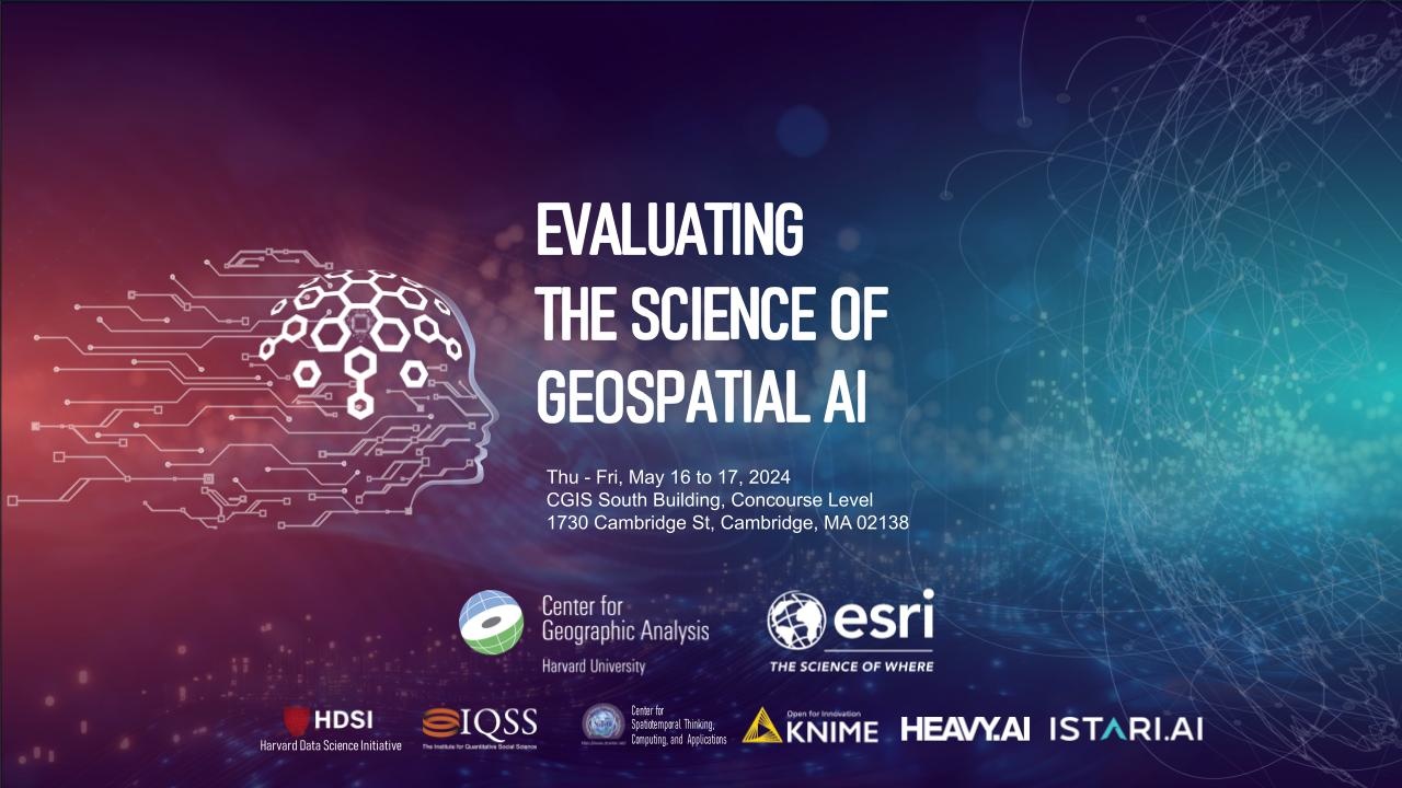
Date:
Location:
May 16th 1-5pm & May 17th 9am-5pm

Proclamations regarding the disruptive potential of Artificial Intelligence (AI) frequently point to shifts in the nature of work, creativity, entertainment, governance, management, health, and even knowledge. Indeed, AI amplifies the role of predictability in science just as it alters longstanding notions of explanation, replicability, reproducibility, falsification, understanding, analysis, and interpretation. How do we account for these shifts in the wake of AI?
Within the discipline of geography, these forms of technological automation have deep roots. Automated geography defines a nearly fifty-year project that captures the broad developments of computer cartography, geographic information systems, remote sensing, geospatial modeling, and spatial data science. As an umbrella term for what would eventually become GIScience, automation provided some unity among these various technologies and techniques that aided or replaced more manual methods of geographic analysis and representation. However, new advancements in GIScience have emerged around the question of learning through automation: How can automated forms of geographic analysis incorporate information from that analysis to improve analyses in future instances? How can techniques in GIScience learn? How do we evaluate the science of Geospatial AI (GeoAI)?
This conference aims to bring together GIScientists with expertise and interests in AI, to examine the current conditions, opportunities, and connections between Artificial Intelligence and Geographic Information Science. Topics may include GeoAI, spatial data science, scripting and workflows, high-performance computing, replicability, predictive modeling, real-time analysis, and big data, among others.
The event will start with a half-day of presentations and demonstrations on Thursday afternoon, followed by a full day of plenary sessions on Friday, which will include keynote addresses, presentation sessions, panel discussions, and closing remarks. Invited speakers will engage with the audience in discussions on the current status, achievements, lessons learned, unmet needs, challenges and opportunities of AI in GIScience.
This event is free and open to the public. All speakers and engaging audience will be in person, while virtual audience may watch the live streaming via Zoom. The virtual audience will be view-only without a chance to participate in the discussions. The Zoom link will be sent to all registered emails.
Registered participants are welcome to submit a poster or story map to be included in the poster exhibit. Please follow Submission Requirements on the Fisher Prize page, and email the PDF directly to jblossom @ cga.harvard.edu for review and posting before May 1st, 2024.
Preliminary Program (last updated on 4/2/2024)
Note: The registration form is Harvard centric, but non-Harvard people are welcome to register and attend this event too. Please select "non-Harvard" in the pick lists, and enter "NA" if you are not working with any Harvard faculty.
Please refer to this information on lodging and transportation around Harvard campus.
Co-Organizers & Co-Sponsors:
Center for Geographic Analysis
Esri
Harvard Data Science Initiative
Institute for Quantitative Social Science
NSF I/UCRC Spatiotemporal Innovation Center
KNIME
HEAVY.AI
ISTARI.AI
